Will La Niña Bring Harsher Winters To India
La Niña’s possible return could intensify India’s monsoon rains and raise the risk of harsher winters

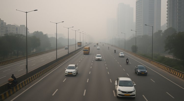
It is the end of September, and the summer season is not ending as humidity is still forcing people to switch on ACs, while experts are already discussing the arrival of La Niña that may cause extreme winters.
On the other hand, a new report by the WMO said La Niña may return, but temperatures are likely to be above average. The WMO recorded neutral conditions (neither El Niño nor La Niña) have continued since March 2025, with sea surface temperature anomalies remaining near average across the equatorial Pacific. Such neutral conditions are making way for La Niña conditions to emerge in the coming months, possibly starting in September 2025. Let’s decode the La Niña effect to understand the scenario.
During normal weather conditions, low pressure in the Pacific Ocean creates a Warm Pacific Pool (WPP) near Australia. This WPP contains warm, low-density air that rises up in the atmosphere. As the air rises higher, it cools and condenses, releasing its moisture, which causes rainfall.
Now, understand the rain scenario in India. When high-pressure winds from the Mascarene Islands move towards India’s low-pressure system, they help create the monsoon across the entire country.
What happens in La Niña?
During La Niña, trade winds become stronger than normal and expand the Warm Pacific Pool (WPP). With the pool size increasing, more warm air rises, forming more clouds and resulting in heavy rainfall. At the same time, the diving air over South America creates higher pressure there.
In India, low pressure already exists, while high pressure builds over the Mascarene Islands. Winds travel more quickly thanks to the additional force from this high-pressure system, passing through the Horn of Africa and into India. More rainfall occurs as a result of these winds’ increased moisture absorption.
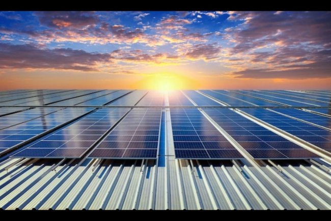
Given that India is an agricultural nation, and rainfall will be higher than usual, yields and production will also increase. At the same time, water security and energy security will improve, with surplus water stored in reservoirs.
La Niña also brings disasters, including heavier rainfall, more landslides, cloudbursts, and flash floods, as the monsoon grows stronger.
Rainfall trends are typically examined over an average of 30 years. However, this baseline itself is rising because of global warming. For instance, the Pacific average for the years 1970–2000 was determined in 2000. It is now taken from 1991–2020 in 2025. This demonstrates how variability is being impacted by rising global temperatures, making monsoon forecasts more difficult and frequently less accurate.
What's Your Reaction?