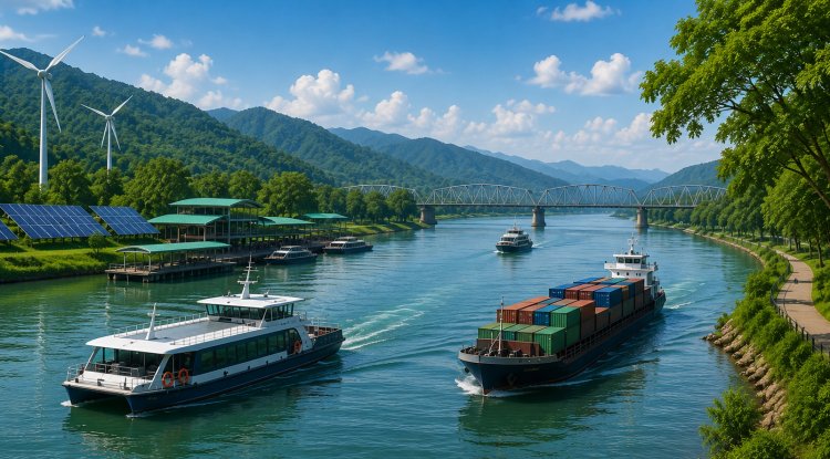
The government is working towards making the Brahmaputra a great economic corridor and transport route for the Northeast Region.
Union Minister for Ports, Shipping and Waterways Sarbananda Sonowal has discussed this vision in the High-Powered Review Board (HPRB) meeting of the Brahmaputra Board which took place in Guwahati, Assam. The meeting focused on the outlook for developing river basin planning, river flood management, sustainable development, and to modernise inland waterways infrastructure in the Northeast.
The Brahmaputra is developed not only as a river but also as a strategic national asset, which can positively enhance the region's connectivity, trade, and economic development as well as its tourism, the government said. The river is planned to be used more extensively for transportation as Inland Waterways Authority of India (IWAI) is making efforts to improve the capacity of the river to be used in the Indo-Bangladesh Protocol Route with Assam and other north-eastern regions and link them with the Kolkata and Haldia ports. It is hoped this will provide an environmentally friendly and economical means of transport.
Over 25 projects, valued at almost ₹751 crore, have already been completed in Assam including terminals at Pandu, Dhubri and Jogighopa, floating jetties and improved river infrastructure. Besides, more than ₹1,100 crore worth projects like development of fairways, tourist jetties, ship repair units, and a Regional Centre of Excellence in Dibrugarh, are in progress. Further, the government has also announced that ‘investment pipeline’ of around ₹4,800 crore will be available in the Northeast in the coming five years.
The following projects are scheduled for the near future: floating jetties, cargo vessels, dredgers, cruise ports and urban water transport systems. According to officials, these are part of the development to enhance logistics efficiency, generate jobs and reinforce the last-mile connectivity in riverine areas. The following advanced technologies will also be incorporated to enhance sustainable river management and development: GIS mapping system, LiDAR, hydrological modelling system, and digital monitoring system.
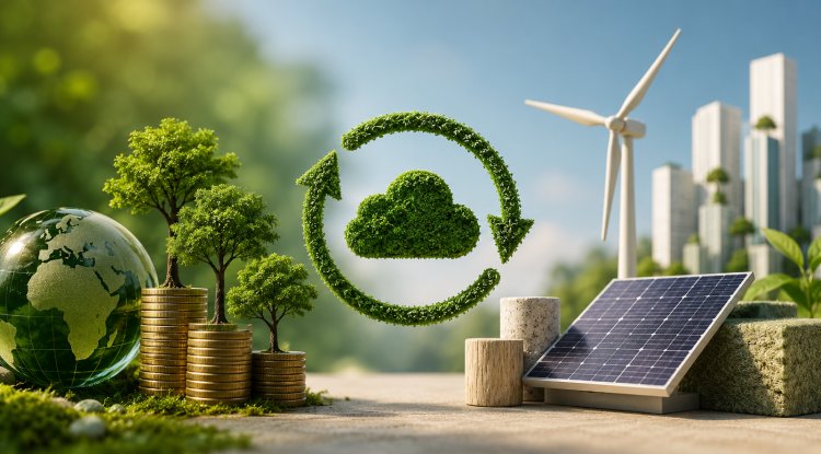
The government is convinced that better use of the inland water sector will help the Act East Policy and alleviate congestion, fuel use and environmental impact when compared to road and rail transport.
What's Your Reaction?