California's 'Eye in the Sky': $100M Satellite Project Targets Methane Emissions
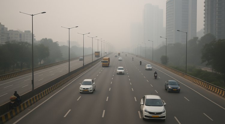
California is investing $100 million in satellite technology to track methane emissions from industrial sites across the state. This initiative, led by the California Air Resources Board, aims to improve real-time detection and regulation of methane leaks, supporting environmental and climate goals.

California's $100 Million Initiative to Monitor Methane Emissions via Satellites
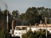
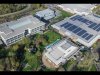
California is embarking on an innovative $100 million project to monitor methane emissions from various sources across the state using satellite technology. The initiative, a first of its kind in the U.S., is aimed at detecting methane plumes from industrial sites like oil and gas operations, landfills, and livestock facilities, helping to improve the state’s air quality and climate change mitigation efforts. This project is managed by the California Air Resources Board (CARB) and will utilize data from advanced satellites to provide real-time information on methane leaks.
The primary tool for this effort is the Tanager-1 satellite, built by Planet Labs, a San Francisco-based company known for operating a fleet of imaging satellites. Tanager-1 uses a spectrometer developed at NASA's Jet Propulsion Laboratory, capable of detecting methane and other greenhouse gases by analyzing light wavelengths reflected from the Earth’s surface. Methane, a potent greenhouse gas, is a significant contributor to climate change, warming the atmosphere much more than carbon dioxide.
The project aims to gather data on methane emissions more quickly and accurately than previous methods. Unlike conventional aircraft-based surveys, satellites offer a broader and more continuous view of the state’s emissions. The data collected will allow CARB to monitor emissions at individual facilities, track the size and duration of methane leaks, and assess the volume of gas released. By improving emission tracking, California hopes to better address leaks and reduce harmful air pollution.
The $100 million funding for the project is sourced from California’s cap-and-trade program, which requires major polluting industries to buy permits for their carbon emissions. The initiative is expected to run through 2028, with the possibility of extensions. By the summer of 2025, CARB plans to begin receiving satellite data and making it publicly available through a web portal for further action.
California’s proactive approach comes at a time when the state is pushing back against potential rollbacks in federal environmental regulations. Governor Gavin Newsom emphasized the importance of using satellite technology to ensure faster and more effective responses to methane leaks, safeguarding public health and environmental quality.
Conclusion:
This groundbreaking project positions California as a leader in using cutting-edge technology to combat methane emissions. With real-time satellite data, the state aims to enhance its regulatory measures, contributing to global efforts in reducing greenhouse gases and mitigating climate change.
What's Your Reaction?