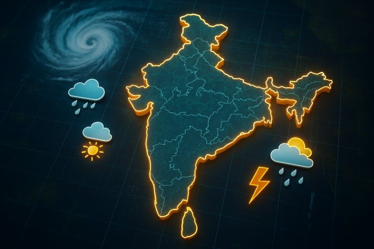
India has introduced new high-resolution forecasting systems, using advanced models and AI/ML to deliver more accurate predictions for rainfall, fog, heat, air quality, and extreme weather.
Under Mission Mausam, the Bharat Forecast System (BharatFS), an advanced computer simulation model, has been developed and is operating at a spatial resolution of 6 km. It can provide predictions of rainfall events up to 10 days, covering short- and medium-range forecasts. Its higher resolution allows weather forecasts at the panchayat or cluster-level. To support real-time high-resolution model simulations, the computing facilities Arunika and Arka have been expanded to handle large datasets and run meso-scale, regional, and global models.
A major addition is the Mithuna Forecast System (Mithuna-FS), a new-generation global coupled model integrating atmosphere, ocean, land surface, and sea-ice components with updated physics and a data assimilation framework. The system currently operates at 12-km resolution and marks an advancement in India’s medium-range localized forecasting capability. The Mithuna-FS suite includes a 4-km regional model for monsoon, cyclones, and extreme events, and a 330-m urban model for fog, visibility, and air-quality forecasting over Delhi. These models run on the Arunika supercomputer and use data from radars, satellites, AWS networks, profilers, and ocean systems to generate panchayat-level predictions of rainfall, thunderstorms, fog, heat stress, and pollutants.
These models are configured for India’s varied climate regimes, with monsoon-focused convection schemes, improved cloud microphysics, and better representation of the Western Ghats, Himalayas, coastal zones, and urban regions. The 4-km regional model captures sub-continental variations, while the 330-m Delhi model resolves winter boundary-layer inversions and pollution episodes. Dense radar, satellite, and surface observations are assimilated to generate forecasts aligned with agro-climatic and hazard-prone regions.
The multi-scale Mithuna-FS suite reduces biases in rainfall, temperature, and fog visibility. Combined with AI/ML-based post-processing, the system provides sharper medium-range forecasts, improved nowcasting, and more reliable district-level probabilities for extreme rainfall, heatwaves, fog, air quality, and thunderstorms.
The Ministry has set up a virtual centre involving the India Meteorological Department, the National Centre for Medium Range Weather Forecasting (NCMRWF), and other institutes to integrate AI/ML into the forecasting chain under Mission Mausam. The centre coordinates AI/ML tools for bias correction, post-processing, downscaling, nowcasting, and multi-source data fusion.
NCMRWF is also running global AI models such as Pangu-Weather, FourCastNet, and GraphCast on the Arunika supercomputer at 25-km resolution and is customising them for India. These models operate alongside dynamical systems to generate hyperlocal products for agriculture, urban management, and disaster risk reduction.
AI/ML methods enable rapid downscaling of numerical weather prediction fields to urban-level resolutions using ML super-resolution and CNN-based nowcasting. Data fusion pipelines on Arunika support last-mile delivery through APIs to IMD portals and sectoral applications. A dedicated functional group has been set up within IMD to strengthen AI/ML-related R&D.
NCMRWF uses pretrained AI/ML models such as Pangu-Weather, GraphCast, and FourCastNet, along with deep learning methods for post-processing, radar/satellite nowcasting, and super-resolution GANs for downscaling. A deep learning model, meteoGAN, has been developed for the Delhi-NCR region and tested for rainfall downscaling at 300-m resolution.
These techniques improve accuracy by learning systematic biases in dynamical model outputs, reducing errors in rainfall, temperature extremes, wind speed, fog visibility, and PM2.5 levels. AI models compute forecasts significantly faster than traditional NWP cycles, allowing updates every 15–30 minutes between main runs. Data fusion and calibrated guidance support decision-making for agriculture, aviation, and disaster management during high-impact events.
What's Your Reaction?